A country connected at walking pace.
A village can be a stop on a map, or part of a journey that gives someone a reason to stay. Via Transilvanica connects individual places through a route people can follow.
 RO Romania
In practice. An established Romanian walking route supported by wayfinding and an official guide describing approximately 1,600 kilometres.
What to keep in view
Trail length, services and conditions change; consult the current official guide before travel. The project’s ambitions for local benefit are not a substitute for measured long-term economic and environmental outcomes.
The route is a shared service
Tășuleasa Social’s trail combines wayfinding with practical information about walking stages and the places along them. Its current guide describes a route of around 1,600 kilometres through Romania.
The guide divides the journey into stages with maps, elevation profiles, infrastructure and accommodation information. Those details turn a line through the landscape into something a visitor can plan around.
Local difference gives the journey meaning
Our reading: the innovation is in connecting many distinct places without requiring them to become the same attraction. A common route and information system can make local food, stories and hospitality easier to encounter.
The experience also depends on continuing work. Wayfinding, maintenance, reliable local information and relationships with residents keep the promise of the trail credible after its launch.
Read next.
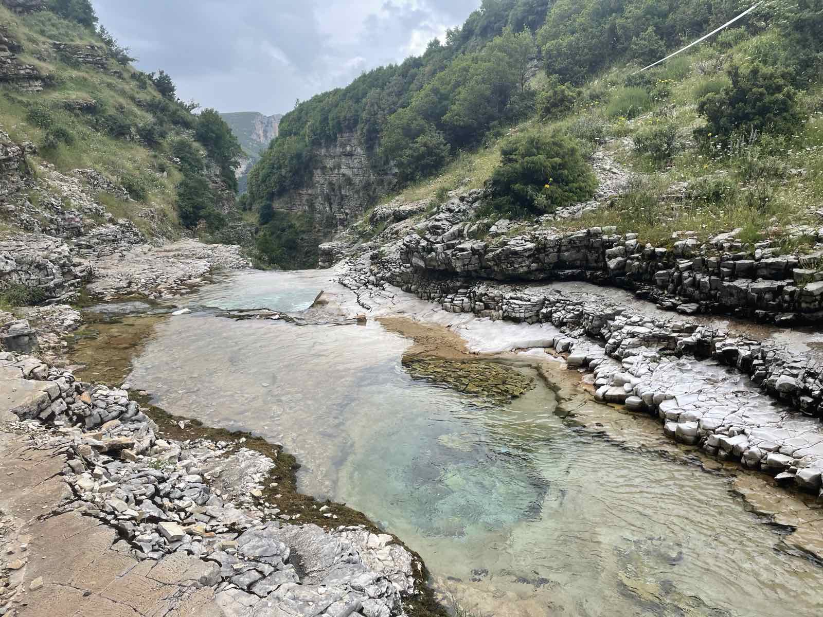
A river, protected as a system.
Both ask us to understand a landscape as a connected system. A walking route joins communities; river protection depends on ecological continuity beyond one scenic location.
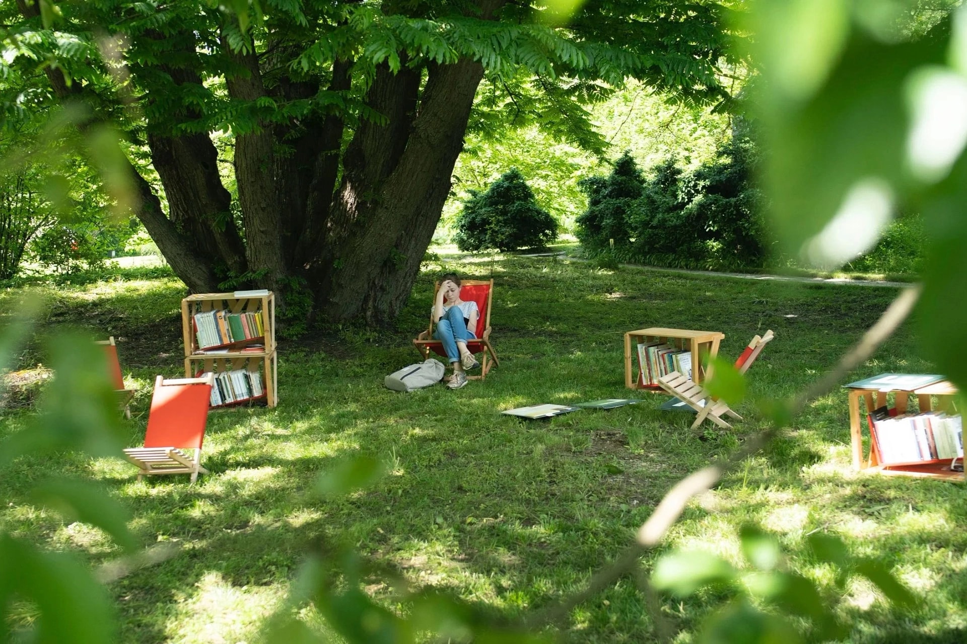
A library can begin with shade and a place to sit.
Both make a reason to spend time in places that might otherwise be passed through. A continuous trail and temporary outdoor reading spaces work at very different scales.