Let the snow groomer measure as it moves.
A white slope can hide very uneven snow cover. SnowLab uses precise positioning on a moving groomer to make that difference visible to the people managing it.
 AD Andorra
In practice. Andorra Research + Innovation documents groomer trials at Grau Roig and Pal, followed by development of the Snowplanner management platform with EPS Works.
What to keep in view
The sources document trials and a commercial platform, not independently measured water or energy savings across all resorts.
Measure during the work already happening
SnowLab began in 2017 at Andorra Research + Innovation. During the 2019–20 season, a groomer at Grau Roig carried a high-precision GNSS receiver. Comparing the machine’s measured position with the underlying terrain makes it possible to estimate the thickness of the snow it is crossing.
A later installation at Pal sent information to a server and a control platform. The research also explored drone and laser surveying. EPS Works and the researchers developed Snowplanner Command to bring measurements into the daily decisions of a ski area.
Make uneven conditions legible
The useful idea is to put observation inside an existing routine. A machine already travelling across the slope can contribute to a map rather than leave only a finished surface behind. Operators can then distinguish a place that needs attention from one that merely looks similar.
This does not make snowmaking impact-free. It creates a better basis for deciding where to groom, move or produce snow. Any claim about lower water or energy use needs before-and-after operational evidence.
Read next.
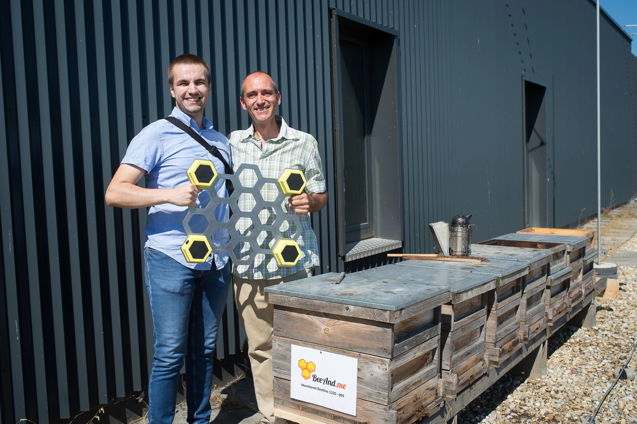
Listen to the hive before opening it.
Both add a measurement between direct inspections. Compare a moving groomer mapping a slope with sensors following a colony over time.
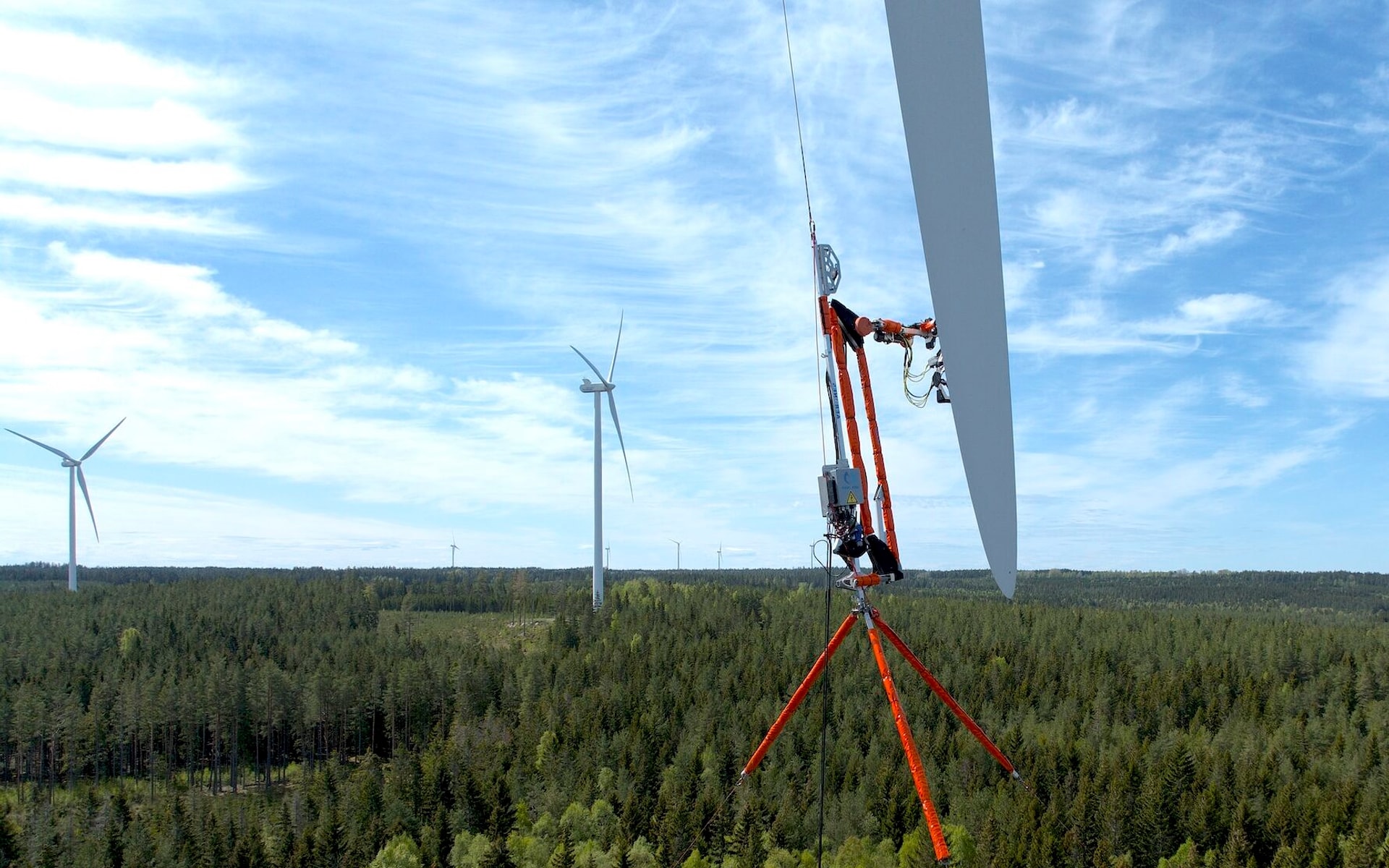
Bring the workshop up the turbine.
Both connect physical maintenance with better information about the asset. The setting changes what the instrument must withstand.