Read the field as a set of different places.
A field has one boundary but many conditions. OneSoil helps farmers see that variation before deciding where to inspect, seed or apply inputs.
 BY Belarus
In practice. Founded through collaboration in Minsk, OneSoil now operates internationally. Its platform offers satellite crop monitoring, productivity zones and variable-rate task maps.
What to keep in view
Crop conditions, cloud cover, local knowledge and implementation affect results. Satellite vegetation patterns are evidence to interpret, not guaranteed diagnoses or yield improvements.
Begin with a farmer’s uneven field
Usevalad Henin and Slava Mazai met at a Minsk agricultural exhibition in 2014. Their early service combined drone photography with maps for differentiated fertiliser application. Automating the analysis became the next problem to solve.
The work expanded into satellite-based tools. Today, OneSoil describes a platform that combines observations of vegetation with productivity-zone analysis and task maps. Those maps can support different application rates within the same field instead of one prescription for the entire area.
Connect an image to a decision
The important step is the translation from an attractive overhead image into something a grower can act on. A patch behaving differently may suggest a place to inspect; it does not, by itself, diagnose every cause.
The photograph documents OneSoil’s earlier field-sensor work. The current platform story is broader and primarily satellite-based. This entry follows the company’s Belarusian origins, while recognising that its present organisation and customers are international.
Read next.
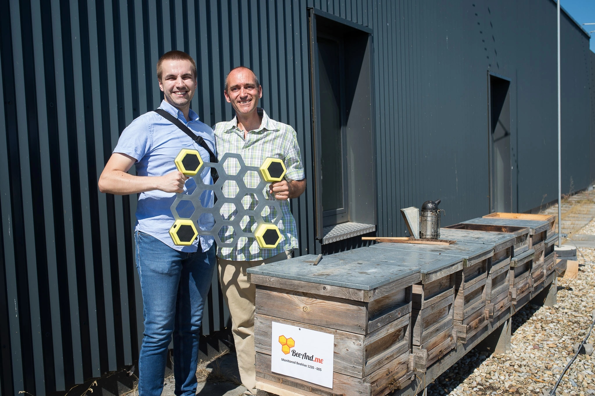
Listen to the hive before opening it.
Both turn observations into a reason to inspect more carefully. A field map and a hive sensor leave important decisions with the person on the ground.
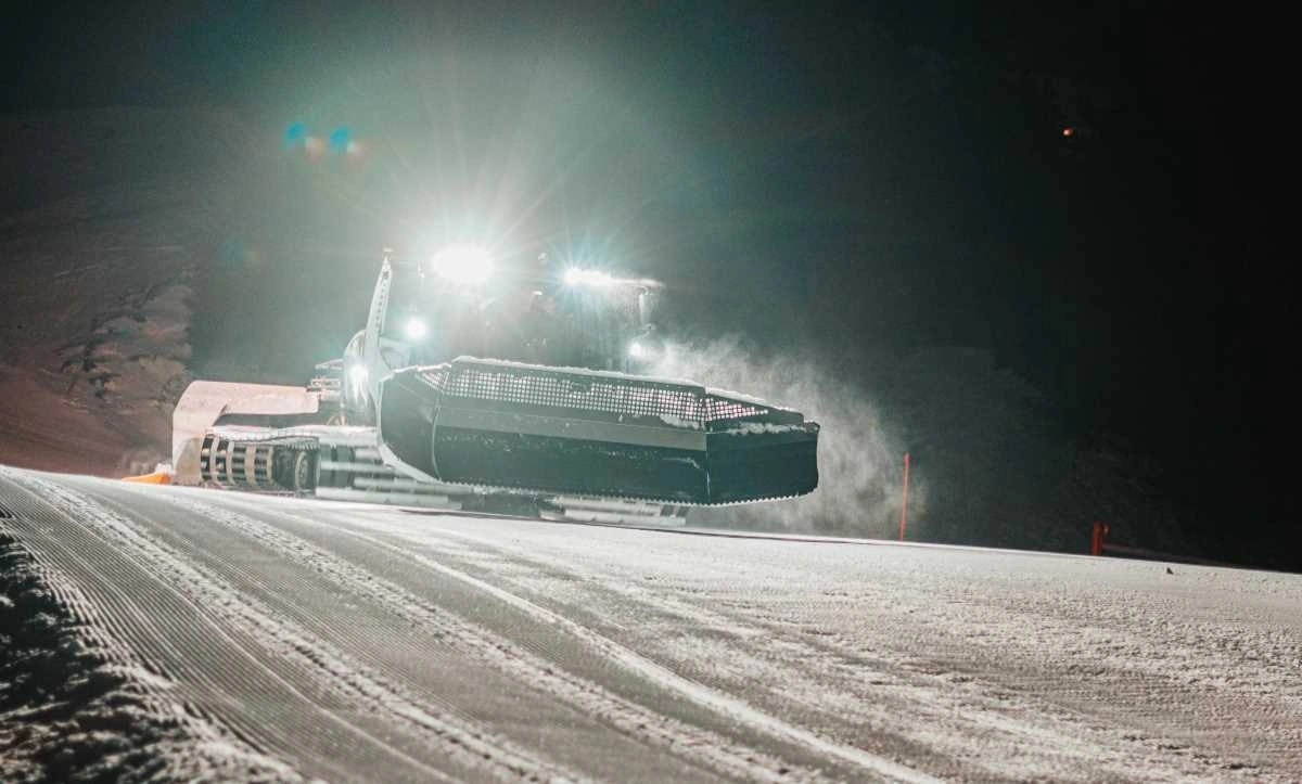
Let the snow groomer measure as it moves.
Both map variation within a landscape. Compare satellite observations of crops with measurements gathered by a snow groomer.